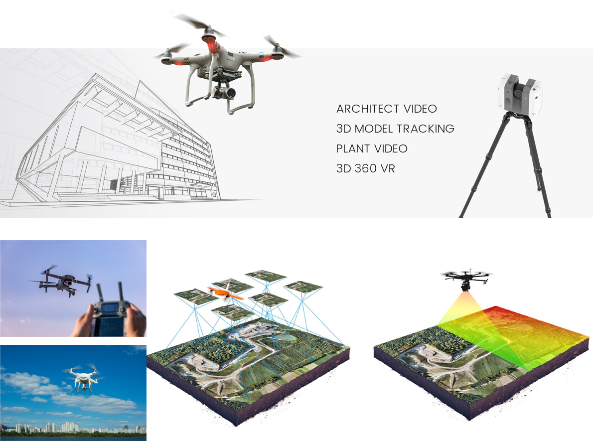
WORK
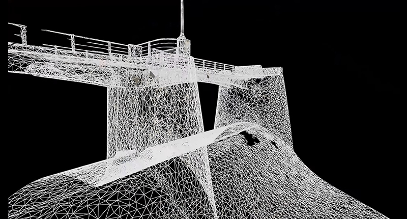
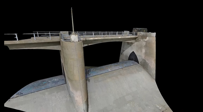
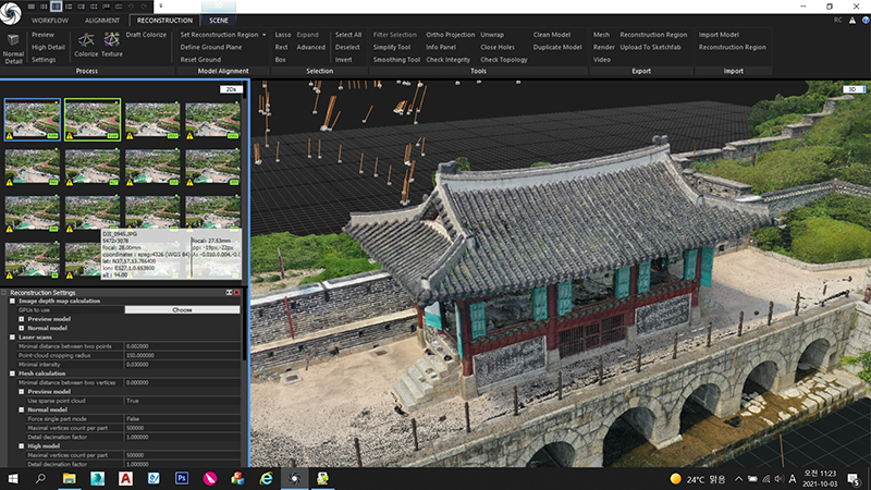
드론촬영 및 스캐너를 활용하여 대상지를 3D스캔 하여 3차원 공간정보를 수집 및 지리정보체계(geographic information system, GIS)와 융합한 디지털트윈을 구현합니다.
각종 문화재 유지 관리, 역사적 가치가 있는 지역의 3차원 디지털 기록화 등에 활용할 수 있습니다.
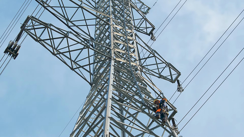
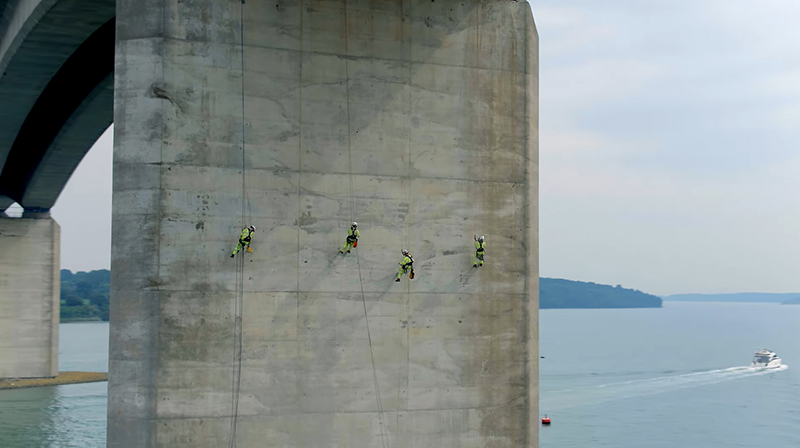
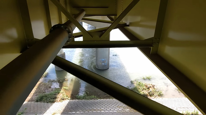
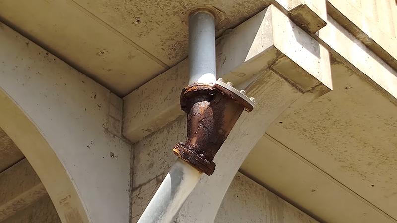
각종 시공 현장에서 육안으로 확인이 까다로운 지역 및 고위험 시공현장에서 모델링 시뮬레이션을 구현하여 시공, 관리, 안전 등 다양한 분야에서 디지털 트윈데이터를 기록화 하여 보다 원활한 사업수행을 가능하게 할 수 있습니다.
Using drone shooting and scanners, 3D scan the target site to collect 3D spatial information and implement digital twin fused with geographic information system (GIS).
It can be used for maintaining various cultural properties and for 3D digital recording of historical values.
Modeling simulations in areas where it is difficult to visually check at various construction sites and high-risk construction sites.
By implementing it, digital twin data can be recorded in various fields such as construction, management, and safety to enable smoother business execution.
Digital twin & 3D geospatial information